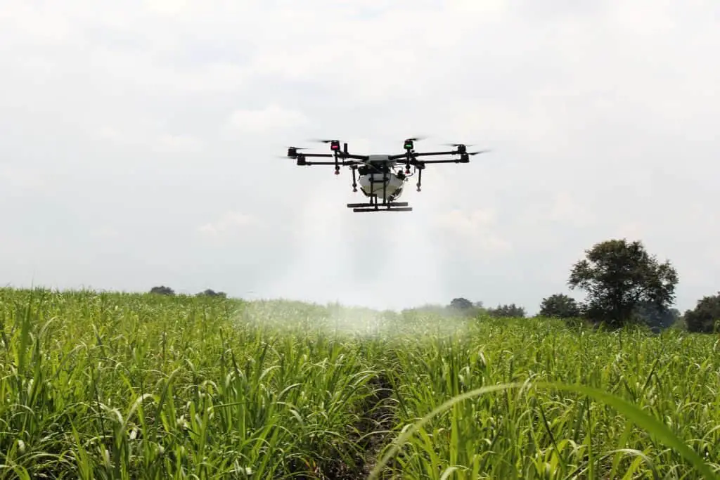
I read a Bloomberg article recently about the use of drones in China’s Guangxi region to fight the ravaging fall armyworm (Spodoptera Frugiperda). According to the article, the drones were loaded with low-toxicity insecticide, and used after sunset to cover vast regions of crops before the armyworm (actually a caterpillar that can fly up to 62 miles in a single night) could migrate. The armyworm has been wreaking havoc the world over, from the Americas, Africa, and Asia, devouring $13.3 billion in Africa’s crops over the past 3 years alone. The article proposes that the use of drones might be the answer to solve the armyworm epidemic.
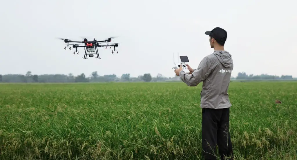
I’ve been curious about the use of drones on our farm for a few years now, since witnessing a friend in Idaho use a drone to do a simple visual inspection of his alfalfa crop, and was left thinking about the many ways agricultural operations can benefit from the use of drones on both a large and small scale basis. I have since learned that there are several companies worldwide that manufacture drones specifically for agricultural use.
Being a small homesteader, I immediately questioned whether it would be worth it to invest in a drone, and how much we would need to use it before it would actually be profitable to make such an investment. Most of the homesteaders and farmers we associate with have quite small operations, and require alternate income sources to keep afloat. This article briefly discusses the potential uses of drone technology in an agricultural setting, sets forth a straightforward cost analysis you can apply to your farm set-up, and will point you towards some good resources if you are questioning whether to invest in a drone for your own use.
So how can I use a drone to help in my farming operation?
The first question many farmers or homesteaders ask is “how can my property benefit from drone usage?” Actually, agriculture is one of the fastest-growing markets for the continually expanding commercial drone industry. Drones, or unmanned aerial vehicles (UAV’s), elevate intelligence in agriculture by allowing farmers to be more efficient in the field, and make better informed crop-management decisions.
One company I am familiar with touts that drones can gather data on 500 to 1,000 acres in less than a day. That’s a heck of a lot more than I could ever do on horseback, 4-wheeler, or even from a high vantage point with a pair of binoculars.
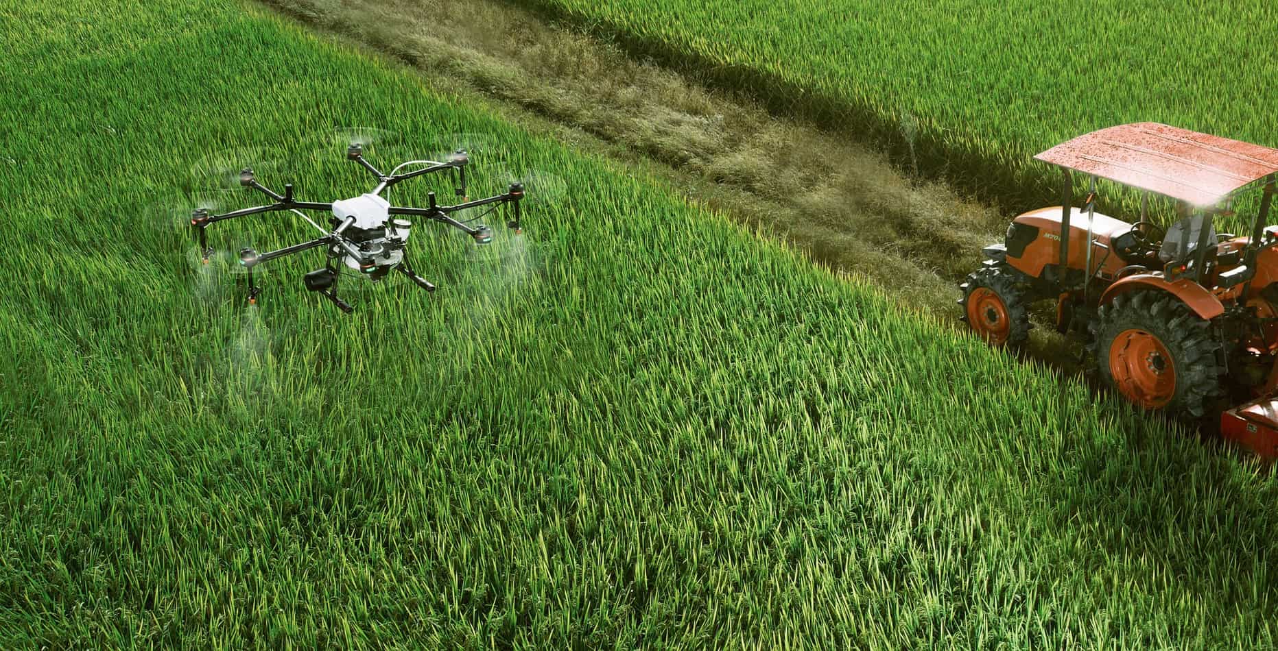
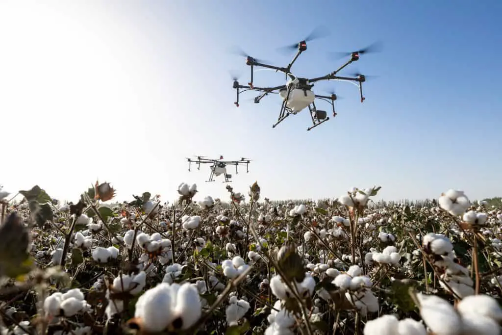
Drones are currently being used for mapping, irrigation, spraying, and crop management. My grandfather used to talk about how he wished there were more hours in the day to get all of the work done on the farm. Perhaps with the use of a drone, he could have saved a great deal of time or even avoided engaging in some of the more dangerous chores that farming required.
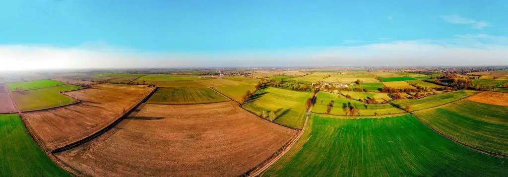
Because a drone is unmanned, it can quickly provide a birds eye view and apply sensors for numerous purposes that can be evaluated for better informed agricultural decision-making. Today, more advanced drones provide exact orthomosaic (or a detailed photo representations) of an area, and are commonly used by engineers, developers and city planners to accurately measure land plots. Drone sensors can also create accurate elevation maps using Lidar imaging technology to measure natural and man-made object height. Additionally, drone sensors can employ multispectral imaging using green, red, red-edge, and near infrared wavebands to measure soil productivity and pant health not visible to the naked eye. This type of measurement can help identify pests, disease and weeds, and inform farmers as to how much (or how little) insecticide might be needed to protect a crop. This same technology also informs regarding soil nutrient deficiencies and what/how much nutrient/fertilizer is needed to optimize crop yield. This same technology can assist in locating areas where water stress is suspected, allowing a farmer to irrigate efficiently. Additionally, some drones have thermal sensors for livestock or predator tracking. (I read an article a few weeks back where drones were used in a search for a missing hiker in Montana using thermal imaging). Some agricultural drones are now equipped with technology to use computer vision for stand count analysis during the early growing season to help determine whether reseeding is needed, or to estimate yield numbers.
Not convinced drones can help yet. Take a look at this short list of how some farms are currently using drone technology.
- Measure plant health details
- Evaluate topography for water flow patterns
- Inspect crops for damage (with color contrast sensors)
- Measure sunlight absorption or plant height on large scale
- Generate plant counts and forecast yield
- Detect plant health patterns early on
- Apply pesticides or nutrient products in precise quantities
- Assess livestock health and weight gain
- Look for damaged fencing
- Find potential crop yield limitations
- Evaluate storm damage
- Assess grove or crop maturity
- Determine ideal foraging areas
Can I afford a drone? The type of drone you will want will depend on what kind of information you need. The least expensive drones will have less sensory capabilities, but may still provide very helpful data. The least expensive sensors carried by UAV’s today are visual devices such as cameras capable of taking pictures or recording videos
Who can fly a drone?
If you’re thinking about getting a drone, you may be wondering if you can fly it, or instead, if you will need to hire someone else to come and use their drone on your farm to gather information. Know before you buy, that depending on the type of drone you choose, and the purposes for which you are using it, you may be required to get a drone license. The personal drone industry has grown exponentially over the last decade, with literally thousands of drones for both personal and commercial purposes making their maiden flights each day.
Whether of not you will need a license to fly a drone is not a question that can be answered with a simple “yes” or “no”. Drone regulations and requirements vary depending on the purposes for the drone’s use, as well as the location in which the drown will be flown. The Federal Aviation Administration (FAA) has set forth clear guidelines regarding pilot drone license requirements for both recreational use, and commercially.
First, you’ll have to determine whether using a drone on your farm is recreational or commercial. In our case, because we were seeking to buy a drone simply to help us view our fence line, and keep an eye on our alfalfa crop, we knew we wouldn’t be using it for commercial purposes. However, if you are looking into using your drone for any type of commercial purpose, (renting it for neighboring farms, you are more than just a hobby farmer) different laws will apply. For recreational purposes, you will need to register any drone device that weighs more than 55 lbs. For commercial purposes, you are likely going to want to hire a professional pilot.
The bottom line, after having done a lot of research, is that you will want to do your homework before investing in agricultural drone services. When it comes to using drones for agricultural, other than simple crop or fence line inspections, we recommend you seek professional assistance. Prices for complete, ready-to-fly agricultural drone systems range from $1,500 to more than $25,000.
Rather than attempting to inform you on a very expensive topic Here are a few sites that we recommend for you if you are highly interested in the use of agricultural drones, and are more than just a hobby farmer:
https://www.precisionhawk.com/agriculture/drones
https://www.dronedeploy.com/resources/ebooks/drones-in-agriculture-puuting-uav-to-work-on-farm/